

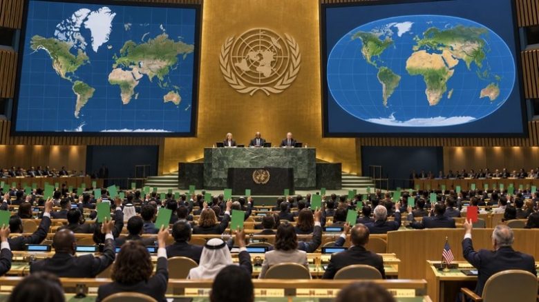
The United States stood alone in rejecting a UN resolution endorsing the Equal Earth projection, created to better reflect the true dimensions of Africa and other regions. Washington considers this not merely a map adjustment, but an ideological push, while 164 nations voted in favor and six abstained during the final tally.
The United States found itself isolated on September 4 when voting against a United Nations General Assembly resolution supporting the Equal Earth map projection, which aims to provide a more accurate depiction of the proportions of Africa and other global areas. The measure secured backing from 164 member states. Six other countries – Ukraine, Moldova, Georgia, Serbia, Lithuania, and Estonia – chose to abstain.
Washington was consequently the sole delegation to cast a negative ballot. Ahead of the vote, the US envoy to the UN urged members to reject the text. The American delegation argued that it did not view this initiative as a simple, politically neutral effort to rectify distortions created by standard maps.
According to the view championed by Washington, the resolution fits instead within a broader “ideology.” The United States also contends that such measures divert the United Nations from issues it views as top priorities, including international peace, prosperity, and state relations.
At the core of the matter lies an old cartographic challenge: how the dimensions of different global regions are depicted on a flat surface. The Mercator projection, developed in the 16th century and particularly useful for ocean navigation, causes significant distortions.
The higher a region’s latitude, the more inflated its size appears. Conversely, territories near the equator look visually smaller than they are in reality.
The comparison between Africa and Greenland illustrates the scale of this distortion. On many maps employing the Mercator projection, both areas can appear similar in size. Reality is starkly different: the African continent is roughly 14 times larger than Greenland. In terms of surface area, Greenland is actually much closer in size to the Democratic Republic of the Congo than to the entire African continent.
It is precisely this visual discrepancy that the Equal Earth projection seeks to correct. The resolution submitted to the General Assembly aimed to promote a map projection that accurately captures the proportions of Africa and other impacted territories.